Meet the Brave Women Who Conquered the Scottish Hiking Trail
In mid-2019, we had the pleasure of connecting with Mary-Preston Austin and Thea Boatwright, two adventurous young ladies who had recently returned from hiking the Scottish National Trail. Using fruitcake as fuel, they walked over 500 miles of the Scottish countryside. To do their story justice, we asked them to write it down, so we could share it with our audience. Keep reading to learn how these energetic souls took on a foreign country wiht nothing more than their backpacks, a compass, and fruitcake!
|
Hey! My name is Mary-Preston Austin and I’m 22 years old—hiya! My name is Thea (pronounced Thee-a) Boatwright and I'm also 22. Together we are known as the Professional Amateur Hillwalkers! Last summer, the two of us spent a month hiking over 500 miles of Scottish countryside together. The trip was momentous given the time in our lives. Both of us were getting ready to enter into our final year at Wheaton College; we didn’t know where we would be going, but we knew things were going to be different after graduation. (As it would turn out, Thea would shift gears from being in the classroom full-time to being in an office full-time; and as for me, I would move out to Colorado to be a wilderness guide for a bit before applying to law school.) However, with another year of school still ahead and our new realities looming, we decided to venture out into the wilderness. As Thea puts it, “Sometimes you just gotta walk it out. As two nature-loving individuals, getting outdoors has been our go-to response to many of life’s changes. Both Thea and I grew up hiking, biking, camping, and loving all things outdoors. Sadly, living in the Midwest, where the weather is cold and the ground flat, our wanderlust went largely unfed. From the beginning of our junior year, we knew we needed to get off the grid; by the time summer rolled around, we were desperate. After filtering through various plans and options, we decided on a destination: Scotland. We purchased our plane tickets, packed our luggage, and set off into the unknown.
Thea Boatwright Packing for the Scottish National TrailThea and I have long wanted to travel together—we’re both pretty low-maintenance and spontaneous so we figured we’d probably have some killer adventures. Spontaneity, as it turns out, would be a constant theme throughout our trip. You see, the Scottish National Trail is somewhat ironically named. Less of a well-established route and more of a “choose-your-own-adventure” kind of path, the Trail cobbles together forty official routes and innumerable unmarked bushwhacks into one very unofficial trail. We found the Scottish National Trail after our Google query of “500-mile trails around the world” presented a news story about a man named Cameron McNeish, a legendary Scottish mountaineer and outdoors writer. Cameron wanted to create a trail that would allow walkers, including himself, to experience his native Scotland’s unfamiliar and beautiful wilderness during a time of volatility in national identity. The trail stretches from Kirk Yetholm in the southern borderlands to the northwestern extreme of the mainland, Cape Wrath. Our story picks up in the town of Milngavie. A picturesque town of about 12,000 people, Milngavie is a quick train ride north from Glasgow. The first few days of our trip had been an exhausting journey from the States to Scotland. Ten straight days of planes, trains, and buses plus long hikes through Iceland, Germany, the Netherlands, and England had left me sore. However, by nightfall, we had finally reached the trail. This is where our story begins!
Scottish Culture & The TrailMILE 0.0Stumbling through a web of high grass and thickets on the outskirts of Milngavie, we had to rely on our headlamps to locate a decent place to camp. We were in unfamiliar territory and tired, looking for a good night’s rest before embarking on our massive journey through the Highland countryside. After a prolonged bout of searching along some sort of unidentified path, we finally pitched our tent and turned in for the night. Shortly after dawn, we were roused by the sound of brisk-paced joggers and dog walkers. Surprisingly enough, the previous evening when we thought we were hunting for refuge in a secluded location, we were instead pitching our tent along the Scottish equivalent of the Illinois Prairie Path—a wide, flat, and highly-traveled multi-use gravel trail connecting the uninteresting corners of the state we were here to escape. We found the Scottish version to be a wee bit more scenic. Quite taken aback at the conspicuousness of our campsite, we half expected the steady stream of early morning trail users to be annoyed by our presence in the middle of their morning workouts. However, quite to our delight, everyone seemed happy to see us wide-eyed and slightly disheveled hillwalkers. It was our very first introduction to the wonder of Scottish hospitality. Grinning sheepishly, we packed up and tromped our way through downtown Milngavie toward the West Highland Way, which we would follow for day one on the trail. We paused momentarily at the trailhead that marked the beginning of the route we would spend the next month of our lives traversing. Our pre-hike research hadn’t quite prepared us for the deception hidden in the path’s nomenclature. Those who had bestowed the name of “trail” on this intertwining web of heather, stone, and bog clearly enjoyed a far more liberal interpretation of the word. Less like a trail and more like a mountainous labyrinth, the Scottish National Trail hosts all manner of mapped and unmapped paths and the precarious stretches between, including the actual trail stretching from Milngavie, which would guide us until our route diverged shortly thereafter. Thea and I flashed each other a smile, took a collective deep breath, and hit the trail.
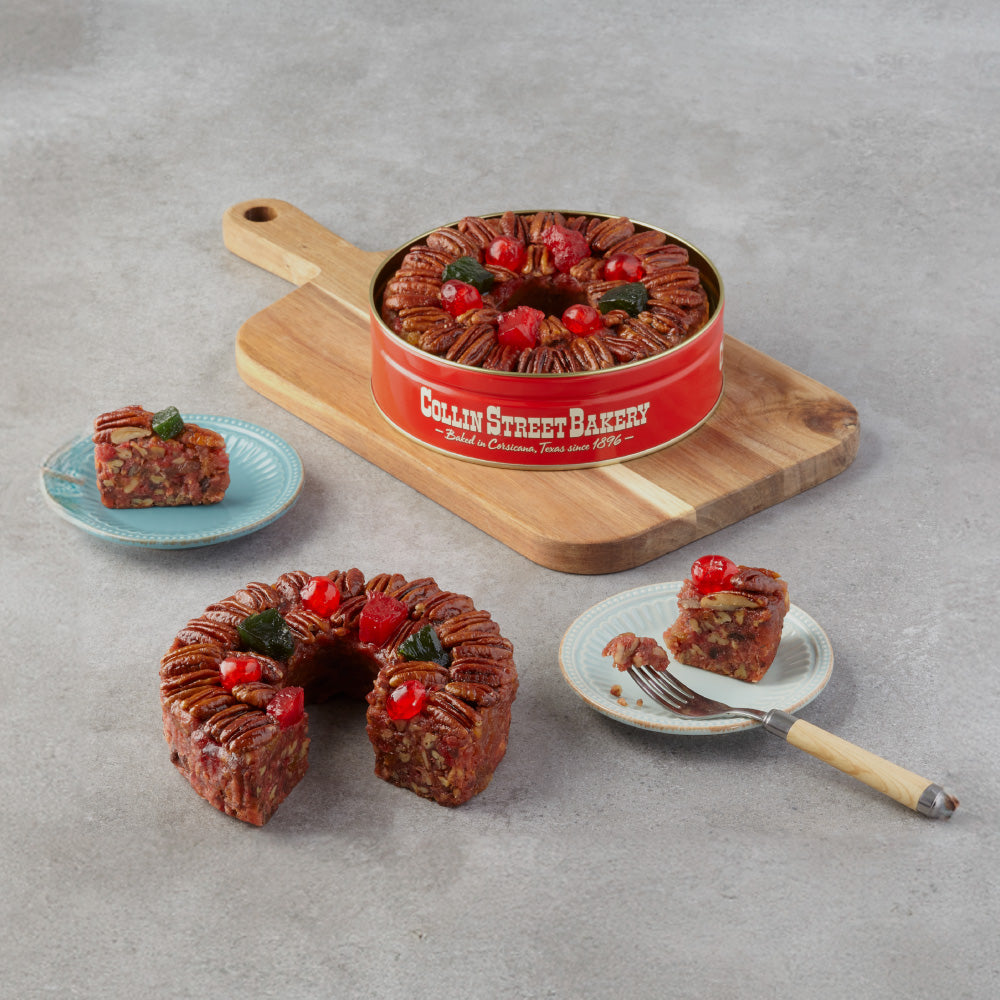
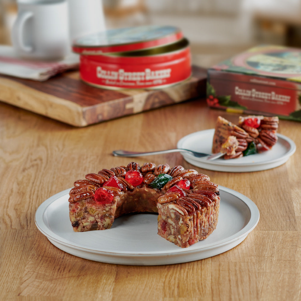
Elastic Pants & KilometersAs we walked in the brisk morning air, the two of us enthusiastically chatted about our fortune of wearing hiking pants for the next month. Lightweight, quick-drying, constructed from various types of nylon, and outfitted with an elastic, drawstring waistband, these pants are practical, versatile, and—most importantly—incredibly comfortable. If you find yourself turning up your nose at the sound of that, don’t knock ‘em til you’ve tried ‘em. After donning my first pair, I thought I might never go back to jeans; at any rate, we reveled in our temporary loose-fitting bliss. As our pant-based commentary slowed, we each began to quietly assess our progress. At first, we found ourselves harboring a bit of concern. Having assumed that all signage in Europe would follow the metric system, we were confused when consulting periodic markers. It seemed we were beginning our travels at a troublingly slow pace. However, a few hours later, we discovered the error in our assumption. The signs were measuring miles not kilometers; we were on pace. Mental Note: Scotland measures distance in miles, not kilometers.Free Camping for AllMILE 5.0After two hours of hiking, we decided to take our first break. We stopped at a spot called the Craigallian Fire Memorial Site. It’s hard to emphasize just how uniquely unassuming this monument is without first describing its significance. Tucked away in a remote bend of the trail, the Site consists of a small concrete ring no more than three feet in diameter. In the center of this ring stands a hip-high boulder. A handful of smaller rocks and large sticks encircle the base of the boulder. The surrounding earth is grassless, trampled by years of use. The concrete ring is engraved with a testament to the site’s legacy: “Here burned the Craigallian Fire. During the depression of the 1930s, it was a beacon of companionship and hope for young unemployed people who came from Glasgow and Clydebank seeking adventure in Scotland’s wild places. Their pioneering spirit helped to make the Scottish countryside free for all to roam." The Memorial represents a singular bright spot during an exceptionally dark time in history—in that very spot, a fire was lit back in 1920. Fueled by the depression and mass unemployment, its flames’ warmth drew an eclectic mix of out-of-work idealists, intellectuals, academics, and political activists. It was around this fire they shared their great passion for the outdoors and hopes for a brighter future. This group of outdoorsmen called themselves the Fire Sitters. The flames were continuously stoked for the next nineteen years by various members of the Fire Sitters. The embers of the original fire were only extinguished with the onset of WWII and the fear that enemy bombers would spot the flames. Without knowing the site’s history, the importance of this place might have been lost. However, this monument had direct connections to Thea’s and my presence in Scotland. You see, one of the Fire Sitters’ key philosophies was that the Scottish wilderness should be free and accessible to all. This idea finally took root in 2003 with the passing of the Land Reform Act, including the Scottish Outdoor Access Code; this code dictated anyone may camp on any unenclosed land as long as they “leave no trace." In other words, the Scottish countryside is fair game to walkers and campers. It is this very Act, accompanied by the longstanding idea of the “Right to Roam,” which allowed Thea and me to camp throughout the Scottish countryside without fear of trespassing on private property or being gouged with exorbitant campground fees. The land was free for all because of an idea that took root at this very spot. We Break for FruitcakeSitting around the memorial, Thea and I relaxed for a few moments. Rooting through our packs, we pulled from their depths our first snack of the walk: a Collin Street Bakery Fruitcake energy bar. Personally, I wasn’t expecting much—I’m not really a fruitcake connoisseur. It was only thanks to Thea I knew what fruitcake even tasted like. She had introduced me to the idea on one of our previous hikes. Apparently, her father had read an article about using fruitcake as an outdoor snack substitute for granola bars and energy gels, and he passed the idea along. Since it was such a hit in the Boatwright family, I thought I’d give it a whirl. Unceremoniously unwrapping the bar, I examined its overall appearance. A long skinny rectangle comprised mostly of chopped pecans and studded with chunks of cherry, golden raisins, and pineapple slivers, this bar looked sort of similar to many other granola bars, albeit more fruity. Taking a bite, I considered the bar’s flavors and texture and decided that it was actually really tasty—surprisingly fruity and definitely lighter than the Clif Bars I’d brought. In spite of its lesser size, I was pleased to find after a couple more miles of walking that it lived up to the name of “energy bar,” and headed on with a bit more spring in my step.
The Damp Walk to DrymenAs we hiked, we passed inns and farms and herds of sheep. I eventually realized it was raining; I had been so delighted to be outdoors I simply hadn’t noticed. It dawned on us the Trail was weaving us through private lands, an occurrence we’d not often experienced when trekking in the States. We followed the unspoken agreement of closing gates behind us as we passed, lest we unknowingly liberate a herd of sheep (Leave No Trace in action). We continued toward our destination for the evening, a town called Drymen, feeling fueled by our fruitcake energy bars. According to our pre-hike research, Drymen boasts a monitored campground located a mile or so outside the town proper. Frequently, a woman on a ginormous horse trots by, greeting new arrivals and collecting campground fees. The price was modest; however, we decided to travel a bit farther, passing the town and arriving in a lovely cow pasture where we could camp without paying at all. Even though it was early, we were hungry, and we decided to venture into town before setting up camp. On our way into town, we encountered a fellow hiker named Sam, who kindly informed us the town’s name was pronounced “Drim-min,” not “Dry-men." We thanked Sam for the advice and continued into town on the hunt for savory foods. Having eaten nothing but peanut butter and energy bars since leaving the U.S.—more than a week ago for me—we were desperate for something savory. Stepping into one of the two local hotels, we were greeted by a dense maroon carpet and appropriately dim lighting. The hotel lobby’s warm reception area was somewhat dampened by the unusual volume of disapproving glances cast in our direction. Dressed in hiking attire and dirty from the day’s walking, Thea and I stood out like a sore thumb, and not even Scottish hospitality could reconcile the disparity between our appearances and our surroundings. The gawking quickly subsided as a roar arose from the hotel lounge. The broadcast of the World Cup Final had begun, and Croatia had just scored the first goal... on themselves. Taking advantage of the distraction, we slipped into a nearby closet and shed our heavy packs. Figuring the hotel too fancy to play host to our elastic waistbands and trail runners, we ditched our things and reemerged into Drymen. Just down the block was another establishment, The Clachan Inn. It was here, in Scotland’s oldest licensed registered pub, that I enjoyed the richest, juiciest burger I’ve ever tasted while taking in France’s World Cup victory. Not being much of a football fan, I was more enthusiastic about my meal than the match. Eventually, we finished our food, retrieved our possessions from the first hotel, and headed back to the wide, gently sloping cow pasture. Trying to avoid the herd of cows dotting the hillside, we picked our way across a narrow river and up a hillock. The cows, enamored with our presence, followed suit. Around midnight Thea and I turned in and fell asleep to the sound of gently shifting hooves. Curds & Which Way?MILE 12.1The next morning we left Drymen, gratefully enjoying the atypically warm day. Our route called for us to leave the West Highland Way and instead join the Rob Roy Way, initially following a paved road into the hinterlands. We followed its gently curving path ten miles north to a town called Aberfoyle. By the afternoon we were ready to eat. As we came into town, we took a quick break to enjoy some “meatballs”—the affectionate name that we developed for the tasty and convenient fruitcake bites Collin Street Bakery had provided. It was our plan to stock up on provisions in Aberfoyle, so we ventured into a little grocery store and began perusing the aisles. It was there, in this small Scottish mart, we discovered pure snacking gold... Scottish cheese, cases and cases of delicious, crumbly blocks of sharp cheddar. Beautifully packaged and gleaming in the store lights, we nabbed a large brick, along with some other essentials. Elated with our purchases, we decided to celebrate with two ice cream cones from a food truck. Relishing our dairy discoveries, we headed back out on our way. It wasn’t until we’d finished our cones and climbed a long hill that realized we were going the wrong way! We performed a complete about-face and passed back through town, resuming our journey in the right direction. Bugs & BrewMILE 32.9The Rob Roy Way took us to the village of Callander, where we happened upon a hardware store cheekily named Screw It! and a delightful used bookstore owned by a seemingly ancient woman. We bought fuel cubes for Thea’s ultralight Esbit stove and a book of Scottish poetry, “The Iron Book of New Humorous Verse.” Heading back out onto the moors, we experienced our first encounter with a swarm of midges: innumerable, tiny, carnivorous, gnat-like bugs somewhat comparable to mosquitoes. Attracted by the smell of carbon dioxide, midges tend to swarm around the noses, mouths, and eyes of their victims. Commonly found living in damp environments, midges nest in slow-moving rivers, streams, and bogs; since Scotland is practically one huge marshy bog, we learned to expect them just about everywhere we traveled. That night as we attempted to cook dinner, we found ourselves battling hordes of midges. Moving our tent away from the river and back onto the gravel, we bedded down for a long night of restless, uncomfortable sleep. MILE 49.5Thoroughly unrested, we traveled next through a village called Comrie; here we restocked our cheese supply and I ventured to try the widely popular Scottish soda “IRN-BRU” (pronounced “Iron Brew”). Commonly referred to as “Scotland’s other national drink,” the popularity of the soda is second only to whiskey. More fashionable in Scotland than even Coca-Cola, its ostentatious bright orange coloring and orange and the blue label makes it hard to miss. It took me a few sips before I was finally able to put IRN-BRU’s taste into words: metallic, chemically-infused bubblegum. Clearly, I was not a huge fan, but evidently, the whole of Scotland disagrees with me. The path we took past Comrie wound through soft underbrush and patches of thinning woods, opening up to display two marvelous waterfalls: Wee Cauldron and Deil’s Cauldron. A short walk later we turned onto a “faint path”—an ambiguous Scottish term for a route that at least one person has traversed at some point. Marked at most by a slight depression in the grass and for many stretches completely invisible, faint paths make it all too easy to lose your way. Sometimes, after following what you thought was the path for a while, you realize you’ve actually been tracking a local sheep. The Highlands are, fortunately, not a bad place to be lost. That evening, we bedded down beside one of these faint paths under the golden brushwork of a softly setting sun. I’m Not Fainting, I’m Falling!MILE 67.25The next day, we set our sights on Loch Freuchie, a small lake roughly ten miles as the crow flies northeast of Comrie. Fortunately for me and Thea, we are not crows. Perhaps less fortunately for us, the most direct path between the two points is more than twice that distance and includes the summit of Ben Chonzie. This particular crag, populated by an abundance of Tundra Hares and frogs, is relatively small with its 712m peak, but it’s the highest point in the surrounding area. After the long climb, we started to descend on a faint path that quickly petered out. We spent an exorbitant amount of time bushwhacking our way through dense heather and tall grass. It was on this portion of the trail that we developed the now classic game, “Is It a Faint Path or a River?” As I mentioned, the distinguishing feature of a faint path is an ever-so-slight depression of grass. As it happens, overgrown grass on the banks of a small stream can appear to be a depression made by foot traffic. Following these faux depressions may be safe for a while, but will eventually leave you, startled, knee-deep in water as the weight of your foot plunges through a tapestry of knitted grass stalks. Always on the hunt for the path, I was the one who found myself in the first invisible river. The rest of the day saw us tumbling down Ben Chonzie, trekking a dozen more miles over a slightly shorter crag, and sloshing along another faint path into a deep bog. Needless to say, we were grateful for a good night’s sleep on the banks of Loch Freuchie. Up early the next morning, a long stroll beside the loch turned into a steep ascent that lasted half the day. When we finally summited the next pass, we shouted our victory to the valley before continuing, pausing on our way down to give a Volvo the right of way on the narrow road. As it passed, the car crawled to a stop. Inside was a charming, chatty older couple who offered us a ride to Aberfeldy (our intended destination for the day).
The offer was enticing, but after a quick examination of our state of cleanliness, I wavered. “We’re kind of dirty,” I started with a wry chuckle. “Nonsense!” came the reply. “It’ll save you a half day’s walking." With a grateful smile, we threw our packs in the trunk and clambered into the back seat. As we sped along in climate-controlled comfort, we discovered our hosts were all too familiar with our… earthy essence. The husband, a scout leader, and father of rambunctious boys had done his fair share of hillwalking and was unfazed by dirt. As the two regaled us with stories, I marveled at the fact we were driving on the left side of the road. “It must be rather alarming,” the wife chortled as she noticed me eyeing the steering wheel located on the right side of the car. A little under an hour later, we found ourselves deposited in a car park (parking lot) in Aberfeldy. Taking the opportunity to eat something not cooked on the Esbit stove, we stopped into the local bakery for hot savory rolls. Our free ride had expedited our day’s walk so we continued on beyond Aberfeldy to just above Pitlochry, a slightly larger city and our goal for the week. As we set up camp and prepared to turn in for the night, we took time to reflect on our introduction to the Highlands. It had been an eventful six days:
107 miles traversed | 411 on the horizon2 blocks of cheese eaten14 fruitcake bites consumedFallen into 3 rivers6 days traveled | 24 days to go
As had become a nightly tradition, we opened our recently purchased book of Scottish verses and read a few lines aloud before bed.
“...How come people moan so much?It’s moan pollution in the sea,And moan, the rate of V.A.T.,And moan, my old arthritic knee —Why can’t they just relax, like me?Why can’t they sing and dance and such?How come people moan so much?”
The air was sweet, the poetry compelling, and the companionship ideal. Our first week had been a good one and we were excited for the rest of the trip. Little could we anticipate that, in the upcoming weeks, we would unknowingly march through military firing zones, become inconveniently injured, or rent our very first international car. We pressed the book closed, turned off our lanterns, and drifted off to sleep. To be continued... |
Take Fruitcake on Your Next Adventure!
Looking to take fruitcake with you on your next adventure?! Well, you’ve come to the right place! Shop our full selection of cakes today and get prepared to fuel your passion. Don’t forget to shop our lineup of packable, snackable Petites—the perfect grab-n-go snack for people on the move!


Leave a comment
This site is protected by hCaptcha and the hCaptcha Privacy Policy and Terms of Service apply.